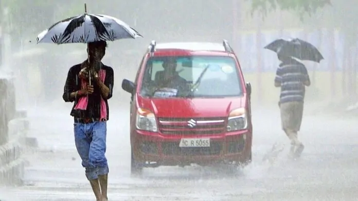
The weather pattern has deteriorated in Chhattisgarh. These days, a lot of moisture is entering the entrance. In the month of March, it is raining amidst increasing heat and strong sunlight. There has also been thunderstorms and hailstorms.
IMD Alert: The weather pattern has deteriorated in Chhattisgarh. These days, a lot of moisture is entering the entrance. In the month of March, it is raining amidst increasing heat and strong sunlight. There has also been thunderstorms and hailstorms. It is cloudy throughout the state. Along with this, light moderate rain is occurring. Also cold winds are blowing. The weather pattern changed in the past few days and many areas of the state received rain with thunderstorms.
According to the Meteorological Department, the weather in the state is likely to remain like this for the next two days. There is a possibility of rain and thundershowers in the state. Along with this, there is a possibility of widespread thunderstorm and hailstorm activities. According to weather experts, the decline in maximum temperature is likely to continue in the state in the next two days. All this may increase the maximum temperature. However, the weather is likely to remain like this for a few days.
Weather experts say that a cyclonic circulation is located over Western Vidarbha and surrounding area and extends up to 1.5 km height above sea level. A trough extends 0.9 km above sea level from Jharkhand through Odisha to northern coastal Andhra Pradesh. A trough air discontinuity extends from South Tamil Nadu to the cyclonic circulation over Western Vidarbha and adjoining areas, 0.9 km above mean sea level, through Interior Karnataka. Due to this effect it is raining across the state.


